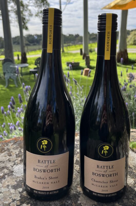
Our inspiration for bottling small volumes of Shiraz from single vineyards was the Scarce Earth program, which was a McLaren Vale initiative exploring and celebrating the geological, climatic and soil diversity of the region.
This project was a celebration of McLaren Vale’s best Shiraz vineyards reaching their full expression through single block wines. The wines were carefully selected by a panel to ensure they reflect their sense of place and express their true fruit characters.
McLaren Vale Scarce Earth explored the geological, climatic and soil diversity of the region. All wines came from a single block, a small plot of land with a unique flavour profile and personality. While Scarce Earth as a formal program has been wound back, we have continued to bottle small volumes of wines from our single vineyards.
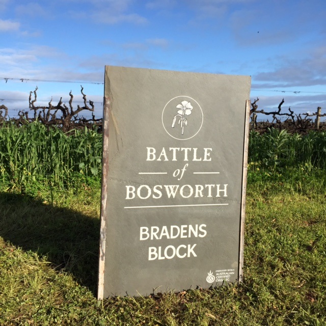
Bradens
The vineyard is mapped as Christie’s Beach formation, but is transitional to Bay of Biscay black cracking clays on the Ngaltinga formation. The Biscay soils are known as self-mulching soils that swell and shrinks according to moisture content. The soils crack in summer to a significant depth – ‘root pruning’ and in winter you will get stuck in a heartbeat if you aren’t in a 4-wheel drive vehicle.
Soil Type: Bay of Biscay
Geology: Christies Beach Formation, Quaternary period.
Elevation: 90 metres
Chanticleer
Chanticleer vineyard is similar in composition to Ding’s, with free-draining Urrbrae stony loam and well-drained clays interspersed with a large amount of various types of stones.
Soil Type: Urrbrae stony loam
Geology: Christies Beach formation, Quaternary period
Elevation: 138 metres
Dings Block
As Chanticleer, above – free draining stony soils. named after Joch’s first dog Ding, who is buried in row 1, panel 1. Good dog Ding.
Soil Type: Urrbrae stony loam
Geology: Christies Beach formation, Quaternary period
Elevation: 120 metres
Geology Map
McLaren Vale is one of the most gelogically complex wine regions in the world. The Geology of the McLaren Vale Wine Region map was developed as a result of decades of investigation by geological scholars and provides a key to the complex, links between geology and modern wine flavours.
First published in 2010, the map was initially prepared by geologist’s Bill Fairburn, Jeff Olliver, Wolfgang Preiss of Primary Industries and Resources South Australia (PIRSA), together with wine writer Philip White. Following continued research and investigation, the map was updated in 2019.
Ongoing study of our region’s geology helps find tthe links between geology and regional wine varietals and flavours, whilst the map continues to assists viticulturists in appropriate planting.
There is such a wide variety of soil types within the region, which reflects the varying underlying geologies, and these all are brought to bear (along with aspect, altitude, rain etc) on the wines that we grow within the region as a whole, and our little patch of dirt in particular.
Our Battle of Bosworth vineyards which are located to the south of the region, have two main soil types which lie over the Christies Beach formation. 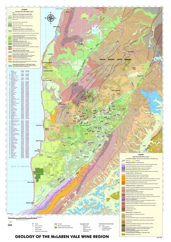
Districts Tasting
The spirit of the Scarce Earth project continues with the annual districts tastings, which investigate the different wine growing terrains of McLaren Vale and define those differences. Based on geology, topography, elevation and climate, the McLaren Vale Districts Working Group have suggested the potential existence of 19 unique districts in McLaren Vale.
Holding annual tastings to investigate if there are any identifiable flavour, tannin and textural characteristics attributable to each district is a continual work in progress and a long term but incredibly valuable project.


